Our services

From sustainability strategy to practical implementation.

We combine strategic advisory, sustainability expertise, impact thinking and geospatial intelligence to help organisations navigate complex environmental and business challenges. Discover our areas and services below.

Discuss a project

Our Areas of Expertise

Area 01Strategy & Transformation

We turn sustainability challenges into strategic priorities, informed decisions and transformation roadmaps aligned with business objectives.

Discuss a project

Focus areas

  • Sustainability strategy and transformation roadmaps
  • Climate and transition strategy
  • Business resilience and opportunity assessment
  • Integration of sustainability into business planning
  • Strategic decision support
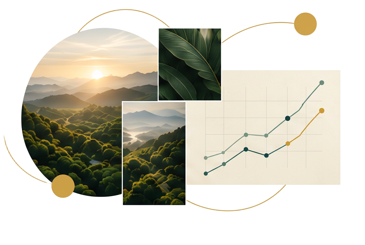
Strategy performance chart paired with landscape imagery

Area 02Sustainability & ESG

We help organisations translate commitments and regulatory requirements into measurable performance, stronger governance and sustainability practices embedded in operations.

Discuss a project

Focus areas

  • Sustainability management and ESG performance
  • Climate, carbon and decarbonisation
  • Sustainability data, indicators and reporting
  • Governance and management systems
  • Regulatory compliance and readiness
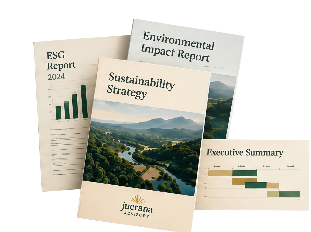
Juerana sustainability strategy, ESG and environmental impact reports

Area 03Impact & Stakeholder Engagement

We help organisations understand the people, communities and stakeholders affected by their activities, turning insight and dialogue into better decisions and measurable outcomes.

Discuss a project

Focus areas

  • Stakeholder mapping and prioritisation
  • Engagement strategies and programmes
  • Social and community impact assessment
  • Impact frameworks and indicators
  • Action plans and outcome monitoring
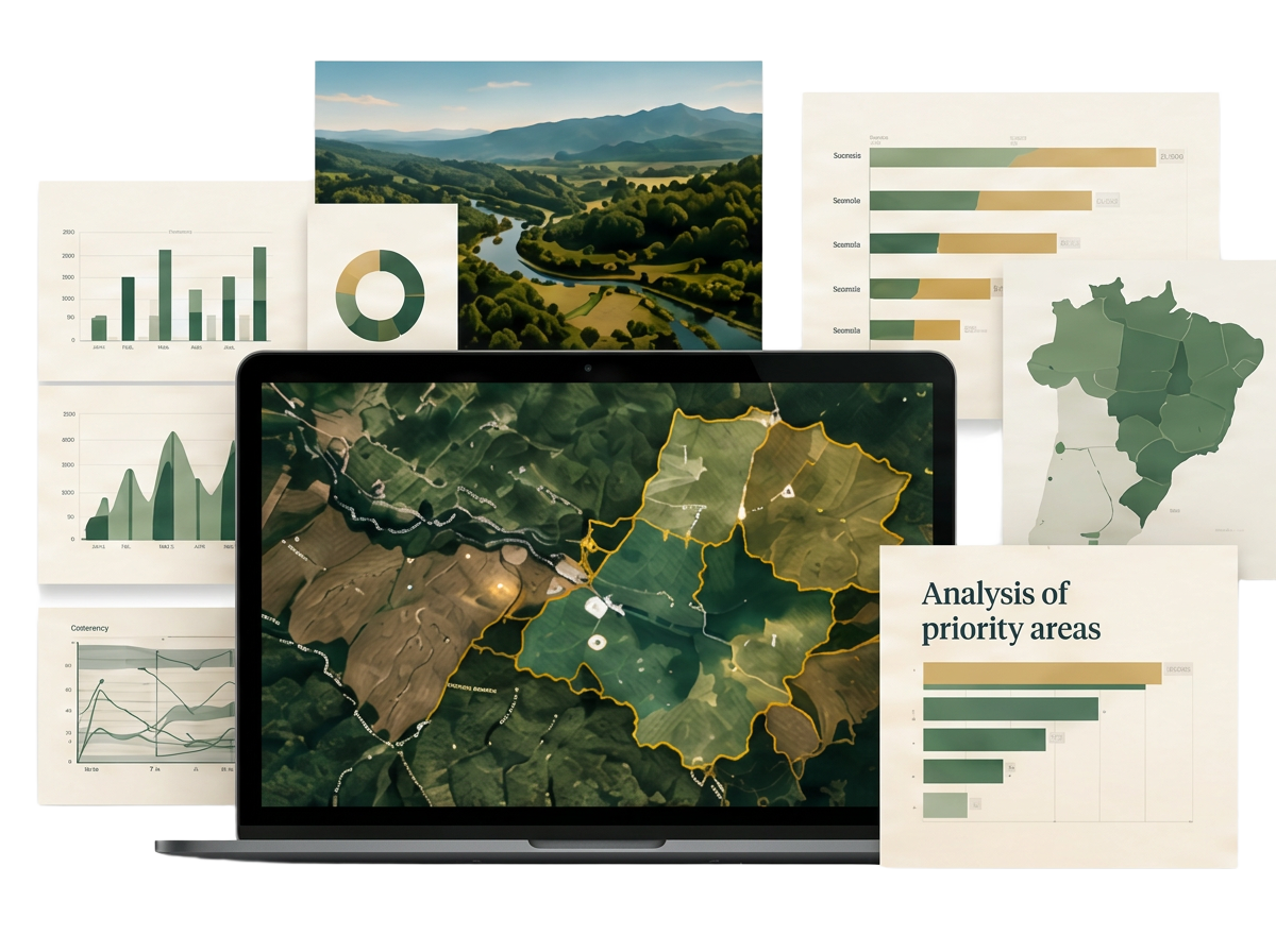
Geospatial impact analysis with satellite mapping and decision-ready charts

Area 04Data, GIS & Environmental Intelligence

We combine sustainability expertise with Geographic Information Systems (GIS), spatial analysis, environmental data and remote sensing to identify risks, impacts and opportunities and support evidence-based decisions.

Discuss a project

Focus areas

  • GIS mapping and spatial analysis
  • Satellite imagery and remote sensing
  • Parcel geolocation and land-use analysis
  • Environmental and regulatory intelligence
  • Spatial risk and opportunity assessment
  • Data visualisation and decision support
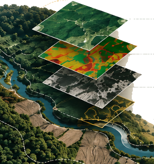
Layered geospatial analysis above a river and mountain landscape

Our services, in three areas (categories)

GHG Inventories

A robust Scope 1, 2 and 3 emissions baseline built around the GHG Protocol — providing the foundation for climate strategy and emissions reduction.

Services include

  • Scope 1, 2 and 3 emissions inventories
  • Activity data structuring and emissions calculations
  • Identification of material emissions sources
  • Methodologies, assumptions and management reporting

Decarbonisation & SBTi

Turning climate ambition into a practical emissions-reduction roadmap, including support for science-based target-setting.

Services include

  • Decarbonisation roadmaps
  • Emissions reduction initiatives
  • Abatement opportunity assessment
  • Support for science-based target-setting
  • Climate performance monitoring frameworks

Carbon Markets & SBCE Readiness

Preparing organisations for Brazil's emerging regulated carbon market through emissions monitoring, MRV structures and strategic readiness.

Services include

  • Readiness assessments for Brazil's Emissions Trading System (SBCE)
  • Regulatory gap analysis
  • Monitoring, reporting and verification (MRV) frameworks
  • Data requirements, governance and responsibilities
  • Implementation roadmaps

European Regulatory Readiness

Services include

  • CBAM applicability and exposure assessments
  • Support with embedded emissions data preparation
  • Assessment of relevant regulatory requirements
  • Support in preparing information for European importers and commercial partners
GISSatellite analysisParcel geolocation

EUDR Traceability & Geospatial Due Diligence

Parcel-level geolocation, GIS analysis and satellite-based risk screening for companies exporting agricultural and forestry commodities to the EU.

Services include

  • Supplier and property geolocation
  • Parcel and polygon mapping
  • Satellite imagery analysis
  • Deforestation screening and environmental risk assessment
  • Supply-chain risk assessment
  • Due diligence evidence and documentation
  • Due diligence process design

Sustainable Procurement

Building supplier criteria, engagement programmes and ESG assessment frameworks that turn supply-chain sustainability into a source of resilience.

Services include

  • ESG criteria for suppliers
  • Supplier questionnaires and assessments
  • Risk segmentation and prioritisation
  • Supplier scorecards
  • Supplier engagement and development programmes
  • Supply-chain improvement plans

Environmental & Geospatial Intelligence

Services include

  • GIS mapping and spatial analysis
  • Land-use assessment
  • Geospatial analysis of assets and supply chains
  • Spatial risk and opportunity assessment

ESG Governance

Creating the governance structures, responsibilities and performance frameworks needed to turn sustainability commitments into accountable action.

Services include

  • ESG governance frameworks
  • Roles and responsibilities
  • Key performance indicators (KPIs)
  • ESG policies and procedures
  • Reporting and accountability frameworks
  • Integration of sustainability into business management

ISO Certification Readiness — 9001, 14001 and 45001

Juerana supports implementation and certification readiness; formal certification is carried out by an independent certification body.

Services include

  • Gap assessments
  • Management system design and implementation support
  • Policies and procedures
  • Process documentation
  • Indicators, controls and responsibilities
  • Internal audit preparation
  • Certification readiness roadmaps

Impact & Stakeholder Engagement

Services include

  • Stakeholder mapping and prioritisation
  • Engagement strategies and programmes
  • Social and community impact assessment
  • Impact frameworks and indicators
  • Stakeholder feedback and perception analysis
  • Action plans and engagement roadmaps

How we work

Analysis built for action.

We combine strategic thinking with technical analysis and practical execution.

01

Diagnose

Understand the organisation, context, data, risks and priorities.

02

Assess

Analyse evidence, identify gaps and opportunities, and establish the baseline.

03

Build

Develop the strategy, systems, frameworks, tools and implementation roadmap.

04

Implement

Support teams in putting the work into practice, measuring progress and improving performance.

Geospatial intelligence: understand how it works

From coordinates to decisions.

Our GIS capability combines geospatial data, satellite information and sustainability expertise to identify environmental risks, understand land-use patterns and support evidence-based decisions.

Explore a GIS project
01GIS Mapping
02Plot-Level Geolocation
03Satellite Monitoring
04Land-Use Analysis
05Deforestation Screening
06Spatial Risk Assessment
07Supply-Chain Mapping
08Geospatial Data Visualisation

This work is particularly relevant to sectors such as agriculture, forestry, food and commodities, where knowing the location of properties, production areas and suppliers is essential for identifying environmental and supply-chain risks.

Have a sustainability challenge that needs a practical answer?

Whether you need to understand your emissions, prepare for new regulation, assess supply-chain risk, build a sustainability strategy or turn complex geospatial data into actionable insight, we can help structure the problem and define the next step.